

Snow at Swedish ski resorts – right now
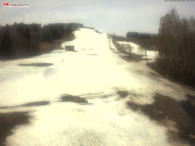
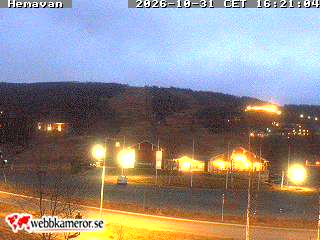
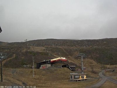
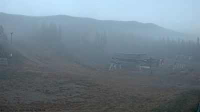
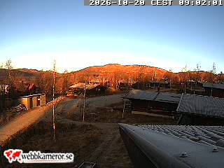
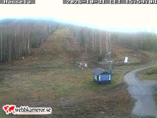
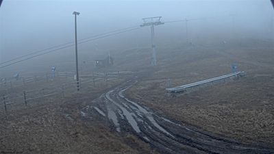
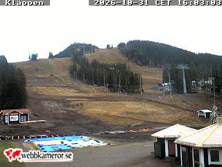
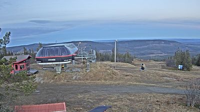
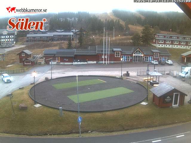
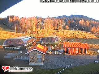
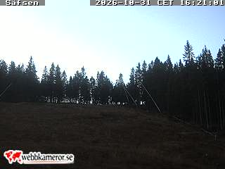
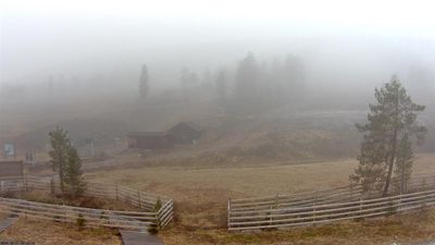
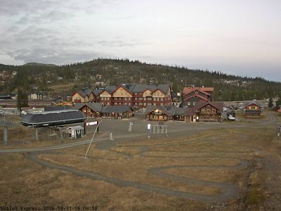
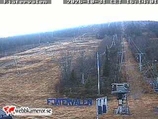
New snow today and tomorrow, snow depth and temperature for Swedish ski resorts – with a live image from each one. Snow depth is SMHI's reading at the nearest station, not on the slopes.

 4°


 4°
 5°



 5°













How the snow report works
New snow
New snow is SMHI's forecast for the resort, worked out from the precipitation expected to fall as snow. One millimetre of precipitation gives roughly one centimetre of snow. It is shown as a range because SMHI calculates several possible outcomes – the wider the range, the less certain the forecast.
Snow depth
Snow depth is measured by SMHI once a day at 6 am at the nearest station, which is usually in the valley. Higher up on the slopes there is often more snow, and the pistes also have man-made snow. Treat the figure as a guide to conditions in the area, not as the depth on the piste.
Updates
Snow data is fetched from SMHI every three hours and temperatures from AccuWeather every hour. The image for each resort is a live webcam, so you can see for yourself what it looks like right now.
Snow: SMHI (CC BY 4.0), processed by WebcamCollections · Temperature: AccuWeather
Ad
▼ Ad ▼